Every entrant’s beacon on one live map.
Waypoint pulls the satellite trackers your riders already carry — Garmin inReach, SPOT, ZOLEO — onto a single map you can watch, share, and hand to your recovery team. Here’s how it works, for organizers and for riders.
Run the whole event from one dashboard
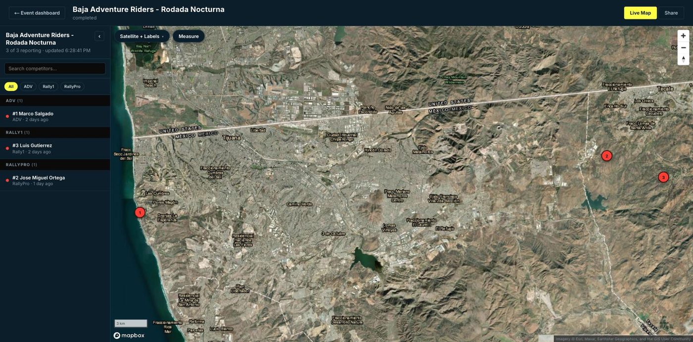
Create an event, load your roster, and Waypoint does the rest — polling every beacon every couple of minutes and putting them on a map you control.
Name it, set the start and end dates, and pick how it runs — a free group ride, an event you pay for, or one where riders pay a small fee when they join.
Upload a CSV with each entrant's name, number, class and their beacon share link (Garmin MapShare, SPOT or ZOLEO). Bad rows are flagged by line; the rest import.
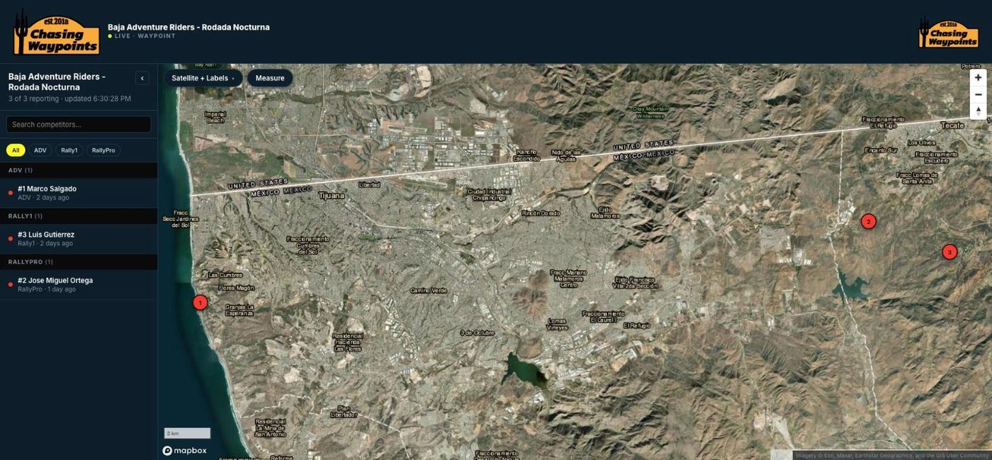
Every beacon refreshes automatically. Filter by class, search a rider, measure distances, and see who's gone quiet at a glance with live / stale / dark status.
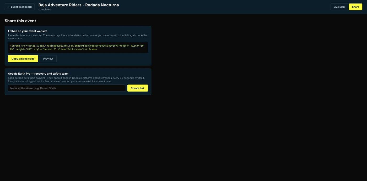
An embed code for your event website, a private Google Earth Pro feed for the recovery crew, and per-rider registration links — all from the Share tab.
Join in under a minute
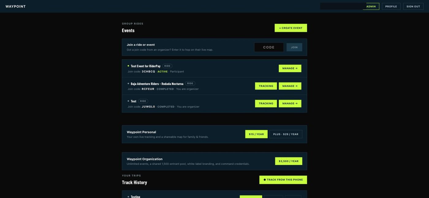
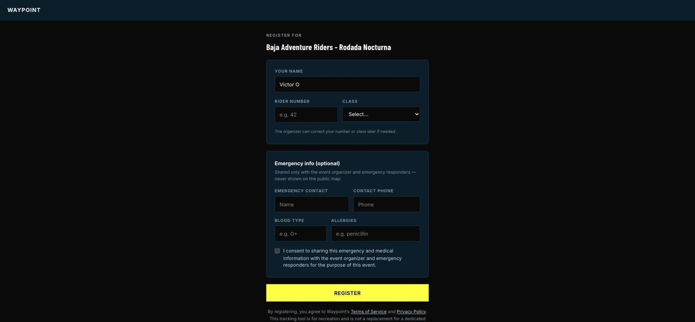
No app to install. An organizer shares a join code or link; you register once and you’re on the map.
Got a code from your organizer? Drop it in and you're taken straight to that event's registration.
Your name, rider number and class. Optionally add emergency contact and medical info — shared only with the organizer and responders, and never shown on the public map.
Track from your phone with the Waypoint app, or bring a satellite beacon — Garmin inReach, SPOT or ZOLEO — for real backcountry coverage. Either way your position joins the live map for the event.
A note on safety. Waypoint adds visibility to the systems you already use. It is a tool for recreation, not a replacement for a dedicated emergency locator beacon or for real-world preparation and backup planning. Always carry and use proper emergency equipment.
A live map you can put anywhere
Fans, families and sponsors follow along on a full-screen map — on your own event site under your branding, with a “powered by Waypoint” credit. Emergency and SOS details are never shown publicly.
Ready to put your event on the map?
Free to start. No hardware to buy — riders keep the beacons they already own.